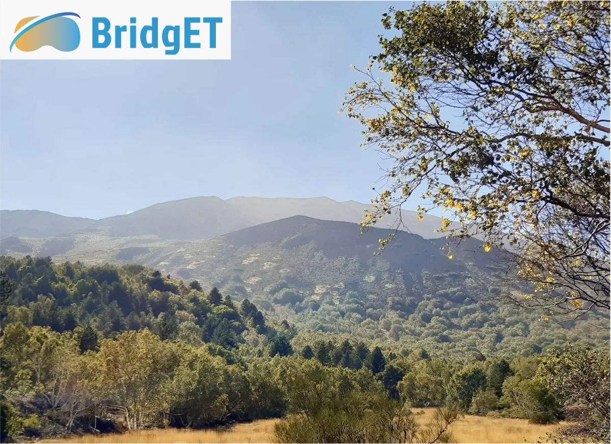
BridgET Sicily Summer School 2023
Highlights from the Erasmus+ summer school in Sicily, where students bridged the knowledge gap between the land and sea using creative technologies as part of the BridgET Project.

This article is written by master student Luke Simmons
The start of the autumn semester marked an exciting time, as we prepared ourselves to embark on a journey to the sunny island of Sicily, the home of Mt. Etna, to take part in this year’s BridgET summer school. In case this is the first time you are hearing of BridgET, then here is a brief background to the project. BridgET is an EU-funded Erasmus+ programme, designed to bridge the land and the sea by creating a virtual environment for teaching and community involvement in the science of marine and coastal geohazards. The programme brings together both academic and professional institutions from six European countries to collaborate in research and teaching methods. Their ambition is to upgrade the core skills and scientific expertise in the field of 3D geological mapping, to enhance reliable integration of multiscale onshore and offshore datasets. So, if this sparks your interest, as it did ours, then you’re in the right place to read on.
The purpose of the summer school was to provide practical training in the acquisition and processing of geospatial datasets from the coastal and marine realm of Sicily, whilst immersing students into an innovative and inclusive learning environment. This was achieved through a variety of hands-on activities with a special emphasis on the role of Virtual Reality to spark student engagement and develop curiosity and understanding when investigating coastal and submarine environments. The relevance of such training is pressing as climate change, rising sea levels and tectonic and marine geohazards of different natures pose imminent environmental issues on a global scale. With this in mind, our goal was to develop a working competence, integrating terrestrial and submarine datasets, to address a current knowledge gap regarding the mapping of the shallow marine environment. Ultimately, this training would provide us with the knowledge and experience to devise more informed coastal management strategies.
To share all aspects of an unforgettable academic adventure within one article would be an unattainable task, so instead, we have reflected on the activities, excursions, and learning outcomes that shaped us the most over the course of summer school. When it comes to mapping inaccessible field sites such as the flanks of volcanoes or coastal islands, the use of drones is unparalleled as they allow us to collect data remotely and over a large area in a short period of time. We were, therefore, delighted when presented with the opportunity to learn the fundamentals of photogrammetry data acquisition with a real-life application from the flank of Mt. Etna within the La Sartorio nature reserve. We aimed to map the extent of past lava flows and identify the trend and morphology of pyroclastic cones.
Figure 2: Agisoft Metashape point cloud model of pyroclastic cone and connecting rift systems, La Sartorio.
Foto: Luke Simmons
The first step involved designing a flight path to map the area, and for this, we used an automated flight planner. This allowed us to easily control important flight variables such as drone speed, altitude and overlap of the images that were to be taken. The use of an RTK (Real Time Kinematic) GPS meant we knew the drone’s exact location, which would later allow for centimetre precision when later georeferencing the images that were taken. Once all the data was collected, processing began in line with a standardised workflow in Agisoft Metashape. This commonly used photogrammetry software allowed us to construct an orthomosaic of our study area, as well as a 3D digital elevation model. With these two end products, we were effectively able to measure and map the lava flows and geomorphic properties of the pyroclastic cones, including relief, size and trend. The early stages of data processing and model generation can be seen in Figure 2. Putting photogrammetry data acquisition into practice for the recreation of environments impacted by volcanic-related geohazards was certainly a unique and enriching experience!
Next up, was the opportunity to collaborate with one of BridgET’s partners, Orthodrone. During this collaboration, we used our newly developed skills in Agisoft Metashape to construct a 3D model of the coastal islands outcrops of ‘Cyclops’ (Figure 3). The outcrop consisted of a sequence of marine muds overlain by lava that recorded a unique eruptive phase of Mt. Etna. Additionally, it is a site of cultural heritage and ancient mythology for the Island of Sicily. Mapping this outcrop provided a great opportunity to understand the application of both red and green LIDAR data. Although red LIDAR is more commonly used, it cannot penetrate through water as well as green LIDAR and therefore, when mapping the morphology of the shallow marine environment the use of green LIDAR is essential. This methodology is an integral part of bridging the gap between terrestrial and submarine 3D models, that allowed us to connect land observations with the submerged realm of Mt. Etnas flanks.
Figure 3: Agisoft Metashape point cloud model of the Islands of Cyclops, Aci Trezza.
Foto: Luke Simmons
Enhanced exploration of the shallow marine environment requires the development of emerging and creative technologies. The most impressive that was showcased at the summer school was the body board Autonomous Underwater Vehicle (AUV) (Figure 4). Fitted with a side scanner sonar, the nifty creation was propelled with two remotely controlled propellors suing a similar system to a drone controller. One advantage of this type of ROV was that it could be used at water depths of less than a meter and up to 100 meters, meaning it could be operated in areas where larger vessels couldn’t go. Some applications that it has been used for included habitat mapping, geomorphic mapping, exploring wrecks and identifying marine litter. It was fantastic to see such creative and innovative technologies in practise and gain a greater understanding of how these can be used to bridge the knowledge gap between the terrestrial and marine environments.

To bring the schools’ immersive experience together and disseminate our data, we created an ARC GIS story map. One aspect of this included an interactive Virtual Reality tour moving from the onshore flanks of Mt. Etna down into its submarine realm. This was constructed in a programme called 3D Vista, which allowed us to compile and expand upon 360 videos taken from each of the field sites we visited, allowing the user to experience and engage with field activities remotely. The end result provided an alternative learning tool that could be used in innovative and inclusive teaching activities as well as community engagement.
All in all, the BridgET summer school felt like a once in a lifetime learning experience. As we celebrated the week's achievements whilst watching the sunset from the historic town of Taormina on the last night, we were filled with a sense of development and broadened horizons as Geoscientists. Next year’s summer school will be held in the Maldives, and if aspects of what you have read here have evoked your curiosity, then you should certainly consider applying!
More information can be found at:
https://bridget.unimib.it/summerschools/

Kortnytt fra Institutt for geovitenskap
-
Fiskeri- og havbruksvitenskap - bachelor
Varighet: 3 År -
Fiskeri- og havbruksvitenskap - master
Varighet: 2 År -
Akvamedisin - master
Varighet: 5 År -
Bioteknologi - bachelor
Varighet: 3 År -
Arkeologi - master
Varighet: 2 År -
Geosciences - master
Varighet: 2 År -
Biology - master
Varighet: 2 År -
Physics - master
Varighet: 2 År -
Mathematical Sciences - master
Varighet: 2 År -
Biomedicine - master
Varighet: 2 År -
Computational chemistry - master
Varighet: 2 År -
Biologi - bachelor
Varighet: 3 År -
Medisin profesjonsstudium
Varighet: 6 År -
Nordisk - årsstudium
Varighet: 1 År -
Luftfartsfag - bachelor
Varighet: 3 År -
Informatikk, datamaskinsystemer - bachelor
Varighet: 3 År -
Informatikk, sivilingeniør - master
Varighet: 5 År -
Geovitenskap- bachelor
Varighet: 3 År -
Biomedisin - bachelor
Varighet: 3 År -
Matematikk - årsstudium
Varighet: 1 År -
Ergoterapi - bachelor
Varighet: 3 År -
Fysioterapi - bachelor
Varighet: 3 År -
Radiografi - bachelor
Varighet: 3 År -
Farmasi - bachelor
Varighet: 3 År -
Farmasi - master
Varighet: 2 År -
Romfysikk, sivilingeniør - master
Varighet: 5 År -
Bærekraftig teknologi, ingeniør - bachelor
Varighet: 3 År -
Odontologi - master
Varighet: 5 År -
Barnehagelærer - bachelor
Varighet: 3 År -
Anvendt fysikk og matematikk, sivilingeniør - master
Varighet: 5 År -
Organisasjon og ledelse for offentlig sektor - erfaringsbasert master
Varighet: 3 År -
Praktisk-pedagogisk utdanning for trinn 8-13 - årsstudium
Varighet: 2 År -
Internasjonal beredskap - bachelor
Varighet: 3 År -
Ernæring - bachelor
Varighet: 3 År -
Realfagskurs
Varighet: 1 Semestre -
Ph.d.-program i naturvitenskap
Varighet: 3 År -
PhD Programme in Natural Science
Varighet: 3 År -
PhD Programme in Science
Varighet: 3 År -
Lektor i realfag trinn 8-13 - master
Varighet: 5 År -
Lektor i språk og samfunnsfag trinn 8-13 - master
Varighet: 5 År -
Kunstig intelligens, sivilingeniør - master
Varighet: 5 År -
Fysikk og matematikk - bachelor
Varighet: 3 År -
Nautikk - bachelor
Varighet: 3 År -
Medisin profesjonsstudium - forskerlinje
Varighet: 7 År -
Havteknologi, ingeniør - bachelor (ordinær, y-vei)
Varighet: 3 År -
Bevegelige bilder - bachelor
Varighet: 3 År -
Informatikk, datafag - bachelor
Varighet: 3 År -
Computer Science - master
Varighet: 4 År -
Fornybar energi, sivilingeniør - master
Varighet: 5 År -
Bærekraftig kjemi og innovasjon, sivilingeniør - master
Varighet: 5 År