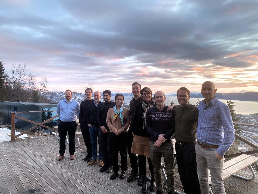
The SHIPTRACK project (NFR contract #326609) is a co-operation between shipping researchers at NHH/SNF, satellite data experts at UiT The Arctic University of Norway campus Narvik, remote sensing startup VAKE.ai, Equinor, shipping companies Utkilen and Western Bulk, and the Bergen Shipowners' Association.
The project is highly interdisciplinary and aims to develop new knowledge from fusing satellite (optical and radar) and AIS data. The project intends to develop novel methods for the automated tracking of ships (during gaps or faulty AIS transmissions) and the extraction of metadata such as speed and loading condition from optical satellite data. Combined with new methods for the classification of commodity types and monitoring of stored volumes (both liquid and dry bulk) using remote sensing, this creates a very powerful tool for increasing visibility in the commodity supply chains and bulk freight markets. In terms of impacts, the project results contribute to better spatial resource allocation for bulk commodities, for instance by reducing uncertainty in restocking decisions, demand estimates and transportation planning.
Improved ship tracking also facilitates safer and more efficient transportation and the prevention of potential of illegal and harmful activities. The project is financed by the Norwegian research council, with a grant of ~16 million NOK total over 4 years. In Narvik one PhD student has already been employed within optical remote sensing.
Siste nytt
Prosjektgruppe
Haiying Jia
Pål Gunnar Ellingsen
Madhu Koirala
Zhenming Wu
Trygve Nøkleby
Egil Husby
Richard Hall
Thomas Leira
Siri-Anne Mjåtvedt
[Loading...]


