Old photos discovered in Tromsø shed new light on Antarctica’s ice sheets
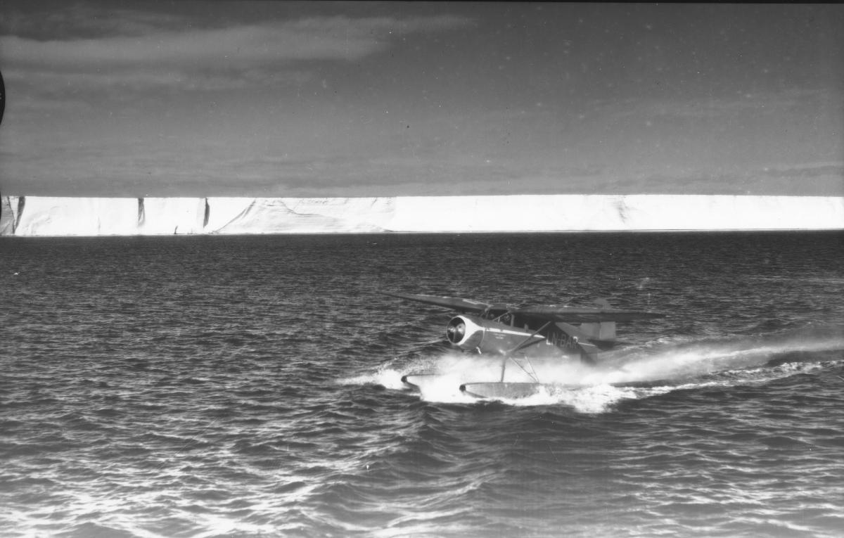
Long-forgotten aerial photos from a 1936-37 expedition organised by Norwegian whaler Lars Christensen have allowed researchers to document changes in ice sheets in East Antarctica over the past century.

“These photos are exciting because they take us back in time ninety years, long before the start of the modern satellite era,” said Professor Anders Schomacker of the iC3 polar research hub at the UiT Department of Geosciences, who contributed to the study. “Having a long-term perspective is super important for understanding the history of these ice sheets, and what they might mean in terms of future sea level rise.”
The photos were originally taken by a small seaplane and cover about 2,000 km of Antarctic coastline, an area that contains as much ice as the entire Greenland Ice Sheet. They remained forgotten until some researchers read about the 1936-37 expedition and tracked down its 2,200 photos in the archives of iC3’s partner, the Tromsø-based Norwegian Polar Institute.
By comparing the historical aerial photos with modern satellite data, the team was able to document that the glaciers in that coastal section have grown slightly over the last 85 years, partly due to increasing snowfall.
“We constantly hear about climate change and new melt records, so it's refreshing to observe an area of glaciers that has remained stable for almost a century,” said Mads Dømgaard from the University of Copenhagen, the study’s first author.
However, the study also showed signs that the future stability of East Antarctic glaciers is not assured.
“Our results also indicate weakening sea ice conditions, making the glaciers’ floating ice tongues more vulnerable and unable to grow as large as seen in the early aerial images,” Dømgaard explained. “We know from other parts of Antarctica that the ocean plays an extremely important role and drives the massive and increasing melt we see in e.g. West Antarctica.”
The study “Early aerial expedition photos reveal 85 years of glacier growth and stability in East Antarctica” has been published open access in Nature Communications.
iC3
The iC3 polar research hub produces ground-breaking insights into how the links between ice sheets, carbon cycles and ocean ecosystems are impacting life on earth. iC3 is based in Tromsø, the capital of Arctic Norway. It is a partnership between UiT The Arctic University of Norway, the Norwegian Polar Institute and NORCE.