Who skis where when?
The aim for the project are threefold: (1) to estimate the backcountry recreational population wide risk from avalanches, (2) to develop an accurate measure of objective risk exposure via a high definition ATES layer, and (3) to assess individual risk exposure in different competency groups and under various avalanche conditions.
AVALANCHE TERRAIN MODELS.
Assessing avalanche terrain may be intuitive for avalanche professionals (Landrø et al., 2020); however, this may not be the case for recreational users of avalanche terrain. The avalanche terrain exposure scale (ATES v1.0) is a terrain classification system developed by Parks Canada to communicate the exposure of traveling in different types of avalanche-prone terrain (Statham et al., 2006). ATES is a terrain classification system commonly used worldwide to describe avalanche terrain using easy-to-understand ratings: Simple (1) , Challenging (2), and Complex (3). A more detailed technical description of these classes is presented in Statham et al. (2006) and reproduced in Larsen et al., (2020). Recently, the ATES classification system has been updated to include two new additional ratings: 1) Non-avalanche terrain (0), and 2) Extreme (4). The updated system complements the existing system and is now referred to as ATES v2.0 (Statham and Campbell, 2023).
COUNTING SKIERS
The main objective of this paper is to introduce a method that is able to enumerate
backcountry skiers throughout the winter season. The concept of backcountry skiing makes it challenging to quantify the entire population. In most cases, there is no funnel where everybody skis through, and the skiing patterns might change throughout the season depending on snow conditions, and skier traffic. This diverse natur of backcountry skiing makes it challenging to use more conventional counting methods such as thermal counters or induction loops where skiers would have to be led towards a funnel or follow the same lane.
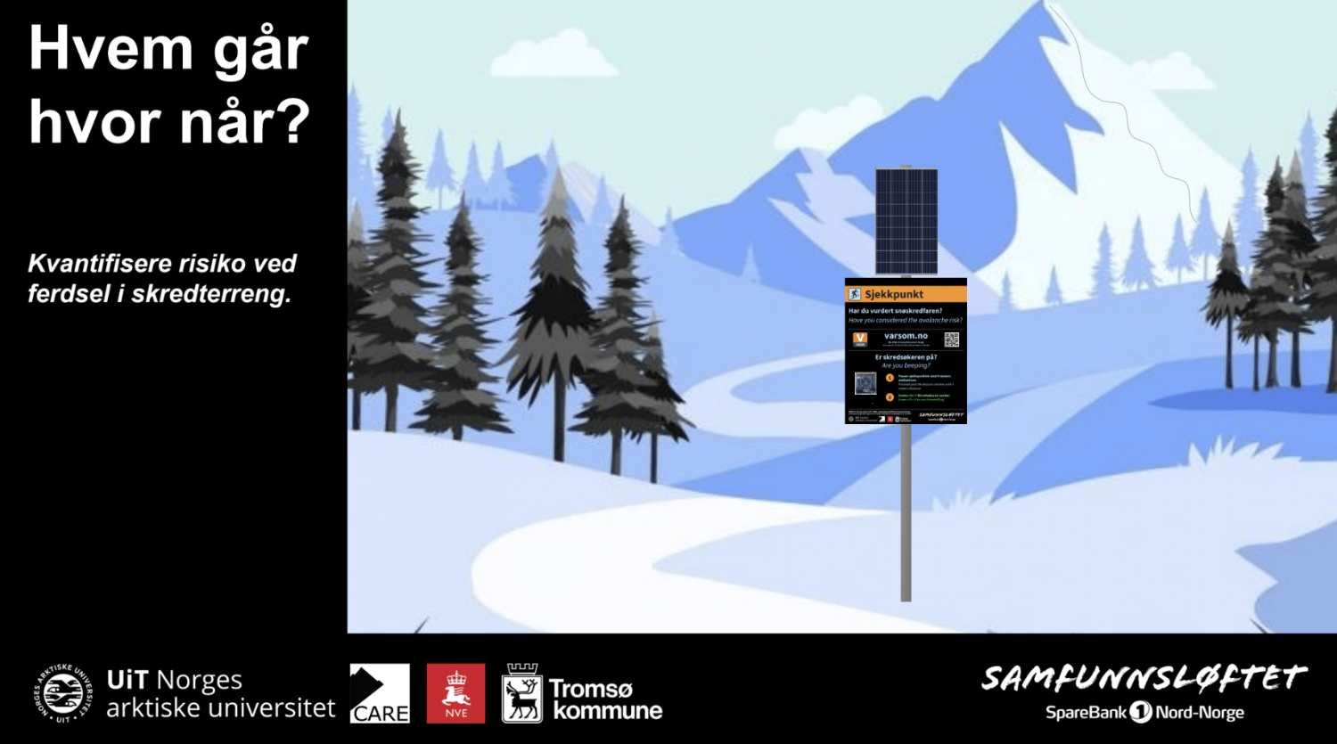
In this project, we present a new method of quantifying backcountry skiers
by making a large network of beacon checkers (BC). The BC is a small waterproof device that constantly searches for avalanche transceiver signals. An avalanche transceiver(combined t
ransmitter and receiver) or avalanche beacon is an emergency locator beacon used to find people buried under snow. They are widely carried by backcountry travelers, for use in the case an avalanche burial.
Papers:
1) Challenges of using signaling data from telecom network in non-urban areas
2) Developing nationwide avalanche terrain maps for Norway
3) Automated Avalanche Terrain Exposure Scale (ATES) mapping - Local validation and optimization in Western Canada
4) Validation and Localization of an Automated Method for Large Scale Avalanche Terrain Exposure Scale (ATES) Mapping